The OpenDataChallenge Kärnten was open for submissions until January 31st 2015. Both applications and concepts about any topic using open government data by the state of Carinthia could be submitted.
I submitted a concept showcasing the potential of using open data and open source GIS technology to present bicycle routes through the state using interactive web maps and 3D visualizations. The tools used are described in a dedicated blog post.
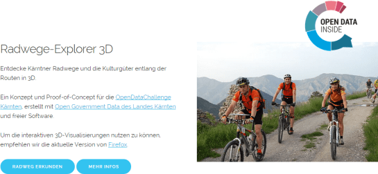
The starting screen presents a quick intro with navigation to both the example bicycle route presentation as well as details about the submission.
An overview of the route is provided using a Leaflet web map. It shows the route and surrounding sights. Selected sights are highlighted and the visitor can click them to see images and jump directly to the corresponding 3D visualization of the respective area.

The web maps use data CC-BY-3.0: Land Kärnten – data.ktn.gv.at
Each highlighted sight comes with a short description, image, and a preview with link to the 3D visualization.
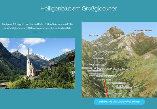
Image of Heiligenblut by Angie (Self-photographed) (GFDL (http://www.gnu.org/copyleft/fdl.html) or CC BY 3.0 (http://creativecommons.org/licenses/by/3.0)), via Wikimedia Commons
