Archive

Tag Archives: AGIT

It’s been a couple of busy weeks, with the QGIS 4.2 release and meetings and conferences all over the place before a few, hopefully quieter, weeks of summer break.

QGIS

First, the Austrian QGIS user group met online on 25 June. The topic was webmapping, with multiple users presenting their webmapping solutions, ranging from Lizmap to QGIS Cloud.

A few days later, QGIS 4.2 was released on 3 July 2026. This release is named Belém do Pará, after the Brazilian city that hosted both FOSS4G and a QGIS user meeting back in 2024. MundoGEO has the details on the naming, if you’re curious about the backstory. Worth noting: 4.2 “Belém do Pará” will be the next LTR, so if you’re using the long-term release, this is the one to watch for.

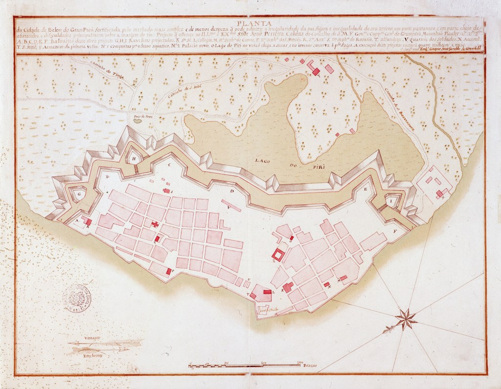
On a side note, while designing the Belém splash screen, it was interesting to see that historic maps of Belém don’t have north at the top. Instead, they’re rotated with north pointing either left or right. A nice little reminder that “north-up” is a convention, not a law of cartography.

Historic map of Belém. Source: https://commons.wikimedia.org/w/index.php?title=File:Planta_da_Cidade_de_Belem_do_Gram_Par%C3%A1_(ca._1773).jpg

AGIT 2026

This week, I made my way to Salzburg for AGIT, my favorite Austrian GIS conference.

On the first day, I took part in the AGEO Podium discussion, together with Andreas Hocevar (the father of OpenLayers), on the OGC API standards, since many users aren’t even aware of these new standards yet.

Photo by Michael Szell. Source: https://datasci.social/@mszll/116889779516757509

Thursday was talk day for me: I presented MobiML, a new Python library designed to streamline the development of machine learning workflows for trajectory data. I hope this library can help make Mobility Data Science more approachable and results more reproducible.

Right after my talk, Michael Szell presented “Assessing the Danish Bicycle Node Network”, building the data and algorithm foundation for active mobility planning and research. If you want to dig into the tools behind it, check out bikenetwork.dk and bikenetkit.org.

Michael is giving a full talk on this on Tuesday at the Complexity Science Hub in Vienna, if you want to hear more.

FOSS4G Europe, from the sidelines

Unfortunately, I missed FOSS4G Europe in Timișoara the week before, so I followed along via the #foss4ge2026 hashtag instead. Iván Sánchez’s talk on the BOSCO ruling, arguing that all government software must be explainable, is just one example of the talks I would have loved to see in person. There was also the already traditional QGIS Feature Frenzy by Kurt Menke and a QGIS hydrological analysis workshop by Hans who also has a full FOSS4G Europe 2026 summary worth reading.

Also relevant: the Birds of a Feather session on AI in OSGeo projects has spilled over onto the OSGeo discuss mailing list. Definitely a thread worth following or getting involved in if you maintain or contribute to open source geospatial projects.

What’s next

Besides MobiML, work also continues on the MovingPandas front. There are a few open pull requests I want to work through ahead of the next release.

After the summer break, the conference season picks back up quickly: FOSS4G 2026 in Hiroshima (30 August–5 September), Spatial Data Science across Languages (SDSL) 2026 in Jena (16–17/18 September), and the QGIS conference 2026 in Switzerland (5–6 October), where I’ll be speaking about AI in the QGIS ecosystem.

For a more complete picture of what is going on in geospatial worldwide, check out (and don’t forget to bookmark) Jakub‘s comprehensive list of geospatial conferences at github.com/Nowosad/geospatial-conferences.
Last week I had the pleasure to attend the combined FOSSGIS, AGIT and GI_Forum conferences in Salzburg. It was a great joint event bringing together GIS user and developers from industry and academia, working with both open source and commercial GIS.

I was particularly impressed by the great FOSSGIS video team. Their tireless work makes it possible to re-watch all FOSSGIS talks (in German).

I also had the pleasure to give a few presentations. Most of all, it was an honor to give the AGIT opening keynote, which I dedicated to Open Source, Open Data & Open Science.

In addition, I also gave one talk related to an ongoing research project on pedestrian routing. It was really interesting to see that other people – in particular from the OSM community – also talked about this problem during FOSSGIS:

(For more details, please see the full paper (OA).)

To wrap up this great week, Astrid Emde, Andreas Hocevar, and myself took the chance to celebrate the 10th anniversary of OSGeo during AGIT2016 OSGeo Day.

https://twitter.com/underdarkGIS/status/751322764867436549

And last but not least, I presented an update from the QGIS project with news about the 3.0 plans and a list of (highly subjective) top new features:

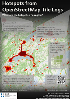
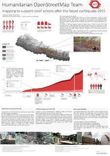
It’s my pleasure to report back from this year’s AGIT and GI_Forum conference (German and English speaking respectively). It was great to meet the gathered GIS crowd! If you missed it, don’t despair: I’ve compiled a personal summary on Storify, and papers (German, English) and posters are available online. Here’s a pick of my favorite posters:

I also had the pleasure to be involved in multiple presentations this year:

QGIS at the OSGeo Day

As part of the OSGeo Day, I had the chance to present the latest and greatest QGIS features for map design in front of a full house:

Routing with OSM

On a slightly different note, my colleague Markus Straub and I presented an introduction to routing with OpenStreetMap covering which kind of routing-related information is available in OSM as well as a selection of different tools to perform routing on OSM.

Solving the “unnamed link” problem

In this talk, I presented approaches to solving issues with route descriptions that contain unnamed pedestrian or cycle paths.

Here you can find the full open access paper: Graser, A., & Straub, M. (2015). Improving Navigation: Automated Name Extraction for Separately Mapped Pedestrian and Cycle Links. GI_Forum ‒ Journal for Geographic Information Science, 1-2015, 546-556, doi:10.1553/giscience2015s546.

Inferring road popularity from GPS trajectories

In this talk, my colleague Markus Straub presented our new approach to computing how popular a certain road is. The resulting popularity value can be used for planning as well as routing.

https://twitter.com/underdarkGIS/status/618690617556795392

Here you can find the full open access paper: Straub, M., & Graser, A. (2015). Learning from Experts: Inferring Road Popularity from GPS Trajectories. GI_Forum ‒ Journal for Geographic Information Science, 1-2015, 41-50, doi:10.1553/giscience2015s41.

The biggest Austrian GIS Conference “Symposium und Fachmesse für Angewandte Geoinformatik” (AGIT) is once more going to take place in Salzburg from July, 6th – 8th 2011. Papers can be submitted from Dec, 1st 2010 until Feb, 1st 2011. There’s an extended deadline until Feb, 21st 2011 for non-paper submissions.

More information: AGIT – Call for Papers 2011