What went on at FOSS4G 2015?
Granted, I could only follow FOSS4G 2015 remotely on social media but what I saw was quite impressive and will keep me busy exploring for quite a while. Here’s my personal pick of this year’s highlights which I’d like to share with you:
QGIS
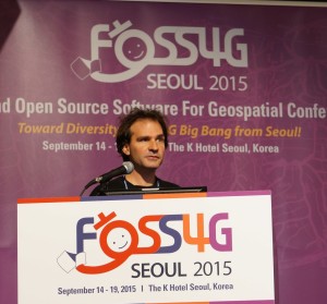
Marco Hugentobler at FOSS4G 2015 (Photo by Jody Garnett)
The Sourcepole team has been particularly busy with four presentations which you can find on their blog.
Marco Hugentobler’s keynote is just great, summing up the history of the QGIS project and discussing success factor for open source projects.
Marco also gave a second presentation on new QGIS features for power users, including live layer effects, new geometry support (curves!), and geometry checker.
There has also been an update to QTiles plugin by NextGIS this week.
If you’re a bit more into webmapping, Victor Olaya presented the Web App Builder he’s been developing at Boundless. Web App Builder should appear in the official plugin repo soon.

Preview of Web App Builder from Victors presentation
Geocoding
If you work with messy, real-world data, you’ve most certainly been fighting with geocoding services, trying to make the best of a bunch of address lists. The Python Geocoder library promises to make dealing with geocoding services such as Google, Bing, OSM & many easier than ever before.
Let me know if you tried it.
Mobmap Visualizations
Mobmap – or more specifically Mobmap2 – is an extension for Chrome which offers visualization and analysis capabilities for trajectory data. I haven’t tried it yet but their presentation certainly looks very interesting:

Just a note, Mobmap it’s not FOSS in this moment. They have only have a tweet with the promise to release it.
Thanks Luigi, good to know! Did you attend their workshop?
No, I saw their slides presentation via web and asked via Tweetter
Pingback: Havaintoja FOSS4G:stä | Paikkatieto