QGIS Atlas on steroids
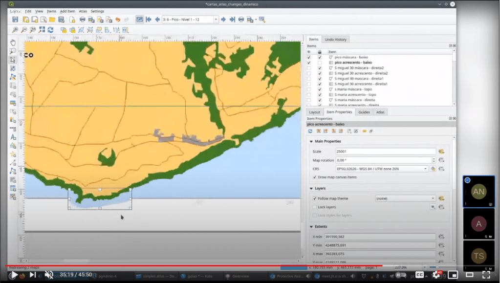
Today’s post is a video recommendation. In the following video, Alexandre Neto demonstrates an exciting array of tips, tricks, and hacks to create an automated Atlas map series of the Azores islands.
Highlights include:
1. A legend that includes automatically updating statistics

2. A way to support different page sizes

3. A solution for small areas overshooting the map border
You’ll find the video on the QGIS Youtube channel:
This video was recorded as part of the QGIS Open Day June edition. QGIS Open Days are organized monthly on the last Friday of the month. Anyone can take part and present their work for and with QGIS. For more details, see https://github.com/qgis/QGIS/wiki#qgis-open-day

This was a fantastic video, thanks for sharing. I do wonder how the attribute table hack worked so that the order of stats was the same as that of the legend items each time? Was there a custom sort expression used for the attribute table?
I’m sure Alexandre would be glad to answer questions about his presentation. I recommend reaching out to him.