Vienna elevation model
Since I finally managed to download the elevation model of the city of Vienna, I thought I’d share some eye candy with you: The map uses layer blending to combine hillshade and elevation raster, and the elevation raster’s color ramp is a modified “garish14” from QGIS’ cpt-city color ramp collection.


A comparion of CGIAR SRTM and open elevation data from the city of Vienna, a photo by underdarkGIS on Flickr.
Update
Here is how you get access to the “garish14” color ramp:
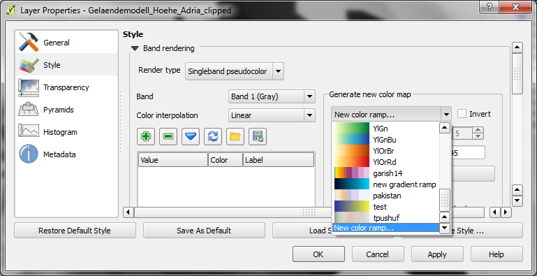
Start by selecting the “new color ramp” option in the raster’s style window.
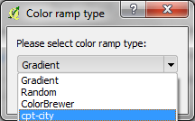
Chose the “cpt-city” color ramp type.
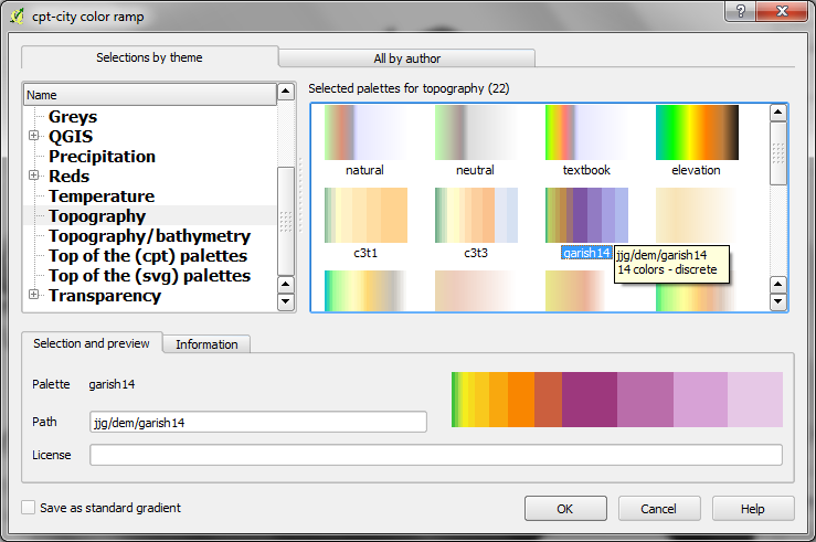
In the “cpt-city color ramp” window, you will find lots of different premade color ramps. “garish14” is part of the “Topography” collection.

I fcuking love this LIDAR data (isn’t it?)
Some flow accumulation would be interesting, looking at the highways visible in the DEM ;-)
Hi Riccardo,
I’m currently trying to get Metadata from the data provider but it’s holiday season so might take a while.
Very impressive! Can you make the data available for download? As far as I know the data are available for download only in small chunks..
Nice! A wish aside: please unhide the color ramps in QGIS 2 from “cpt-city” (whatever that means) to a prominent place in the color manager)… thanks!
Hi Markus,
I’ve updated the post to include instructions for how to create this color ramp.
Thanks much!
HI Anita. I can’t find cpt-city on my Osgeo4w build QGIS (7507cfc), i.e. the Color Ramp dialog box is empty. any news for me? thanks in advance
Sounds like a bug. Please report it.
Hello! I’m trying to download the data but I obtain only a 4 points layer… from the shp or from the GeoJSon protocole, same 4 points…
What’s wrong?
Thanks a lot anyway! I’m a student and I have to realize a 7 maps Atlas about Wien, you helped me a lot. ;)
If you check the requests, you will notice that the examples state “maxfeatures=5”. You have to change this setting. Also, please note that the data provider enforces a feature limit of 300,000 features per request. In my experience though, the limit for successful requests is even lower. So you can only download small areas at a time.
If you want to use the data for general mapping only, I suggest to look into the EU-DEM dataset provided by the EEA. It’s easy to download as a raster for big areas of Europe.
I actually would like to obtain this data to realize a bike hardship map…
so i need precise data…
@underdark: Where can I download the EU-DEM. could you please post the url/website?
thx
You can read about the data here: http://www.eea.europa.eu/data-and-maps/data/eu-dem and download it from: http://epp.eurostat.ec.europa.eu/portal/page/portal/gisco_Geographical_information_maps/geodata/digital_elevation_model/eu_dem_laea
Hallo Anita.
Hab gerade erst angefangen mich mit gis zu beschäftigen. Mein Frage wäre, wie, und welche der
WFS links der Stadt Wien du benutzt hast.
thx
Hi Frank,
Ich habe ca. 1000 Requests für Shapefiles nach dem Beispiel auf https://open.wien.at/site/datensatz/?id=82764cdb-a0e0-4e64-ba8f-31cc9a303c5a ausgeführt und die Daten dann zusammengefügt.
Lg, Anita
Hallo Anita!
Ich habe versucht über den Link:
“http://data.wien.gv.at/daten/geoserver/ows?service=WFS&request=GetFeature&version=1.1.0&typeName=ogdwien:GELAENDEOGD&srsName=EPSG:4326&outputFormat=csv&maxfeatures=5”
Daten zu extrahieren.
ist es möglich eine Bounding Box wie beim WMS Link zu definieren? :
(http://data.wien.gv.at/daten/geoserver/ows?version=1.3.0&service=WMS&request=GetMap&crs=EPSG:4326&)
bbox=48.205,16.355,48.208,16.358
(&width=1&height=1&layers=ogdwien:GELAENDEOGD&styles=&format=application/rss+xml).
um zu kontrollieren aus welchem bereich Punkte angefordert werden?
Beste Dank im Vorraus!
A bounding box request should look like this:
http://data.wien.gv.at/daten/geoserver/ows?service=WFS&request=GetFeature&version=1.1.0&typeName=ogdwien:GELAENDEOGD&srsName=EPSG:4326&outputFormat=csv&bbox=16.35,48.25,16.4,48.3,EPSG:4326Is the source of the Shapefiles still online? All I can find is an .asc raster file on the website behind your link.
They replaced the link to the WFS service which served a point raster with elevation values with a raster download. At the same time, they reduced the available resolution from 5 to 10 meters pixel/cell size. I’m planning to make the old 5 meter data available in the near future.
Update: The WFS GetCapabilities still advertises the elevation dataset. Maybe it’s still possible to get it.
Vielen Dank!
Can you please explain why your map is smoother? Is the elevation raster at a higher resolution or did you use additional information? What do you mean by hillshade?
Yes, the 5 meter open government dataset is of higher resolution than the 90 meter SRTM data …
@hillshade: not sure if you have a specific question in mind but please check http://lmgtfy.com/?q=gis+hillshade