Visualizing trajectories with QGIS & MobilityDB
In the previous post, we — creatively ;-) — used MobilityDB to visualize stationary IOT sensor measurements.
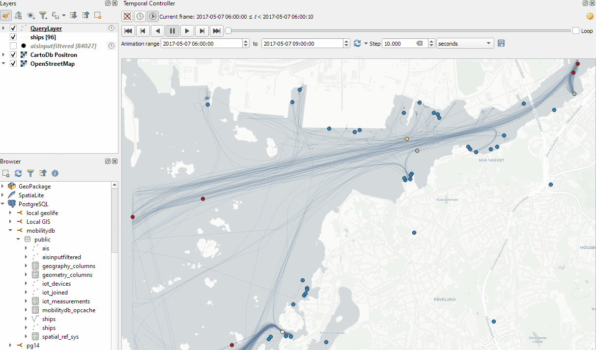
This post covers the more obvious use case of visualizing trajectories. Thus bringing together the MobilityDB trajectories created in Detecting close encounters using MobilityDB 1.0 and visualization using Temporal Controller.
Like in the previous post, the valueAtTimestamp function does the heavy lifting. This time, we also apply it to the geometry time series column called trip:
SELECT mmsi,
    valueAtTimestamp(trip, '2017-05-07 08:55:40') geom,
    valueAtTimestamp(SOG, '2017-05-07 08:55:40') SOG
FROM "public"."ships"
Using this SQL query, we again set up a — not yet Temporal Controller-controlled — QueryLayer.
To configure Temporal Controller to update the timestamp in our SQL query, we again need to run the Python script from the previous post.
With this done, we are all set up to animate and explore the movement patterns in our dataset:
This post is part of a series. Read more about movement data in GIS.
